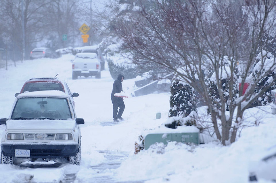
Another major blast of snow lurks in the forecast for the Fraser Valley.
As temperatures plummet, residents dig out and city crews work to clear roads, weather forecasts suggest another dump may be in the offing.
Although no significant snow is expected on Monday, Chilliwack and Abbotsford could be in line for as much as a foot of the wet stuff as the week rolls on.
RELATED: Hwy. 1 open after extreme weather leads to 30 vehicle crash between Hope and Chilliwack
RELATED: Is your Abbotsford school closed today?
RELATED: Major Highway 1 issues in between Langley and Abbotsford
That means that students in Abbotsford could still get their snow day – schools there are open on Monday, although those in Chilliwack are not.
The Fraser Valley could see five to 10 centimetres of snow on Tuesday, and a similar, or even greater, blast on Thursday, according to the Weather Network.
An Arctic Outflow Warning remains in effect and Sunday’s storm saw a few localized power outages around the region.
Environment Canada warns: “Cold arctic air will continue to funnel out of the mainland inlets and valleys today producing northeast winds of 40 to 60 km/h with gusts as high as 80 km/h. The strong winds combined with cold temperatures will generate wind chill values of -20 or lower.”
Do you have something to add to this story, or something else we should report on? Email:
tolsen@abbynews.com