The cold arctic air that brought in snow for British Columbia's south coast has finally moved out.
Environment Canada is forecasting temperatures to remain above the freezing mark for the Lower Mainland and coastal communities as far north as Prince Rupert for the remainder of the week.
But further inland, snowfall warnings are still in effect with up to 30 centimetres forecast for the Coquihalla Highway from Hope to Merritt, while wind warnings have been posted for the central coast and parts of Vancouver Island.
A special weather statement from Environment Canada identifies the potential for localized flooding in parts of Metro Vancouver and the Fraser Valley where the combination of melting snow will be topped by as much as 25 centimetres of rain.
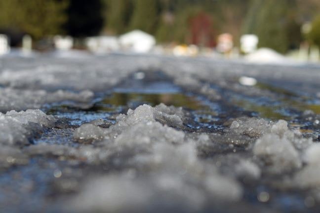
Commuters around Greater Vancouver were paralyzed by snowfall early Monday morning, but the five to 20 centimetres that blanketed the region quickly turned into a slushy, wet mess as temperatures climbed through the day.
The City of New Westminster tweeted that the weight of the waterlogged snow caused the collapse of a large but aging, single storey gym in Queens Park, but no one was hurt.
DriveBC says pooling water and compact snow was creating slippery conditions on many highways from the South Coast, up to Whistler and into the Interior.
The Canadian Press