Citizens of the Lower Mainland have been hearing warnings of the ‘Big One’ for decades now – an expected catastrophic earthquake brewing under the plates of the provincial coastline.
Across B.C., students and workplaces drill annually in anticipation of any potential disaster event, but what is the provincial government’s plan in case the worst should strike?
Abbotsford and it’s airport, it turns out, may play a major role in the relief effort.
“For British Columbia, the Big One is not a matter of if, but when, and we must do more to be ready,” states the province’s Minister of Justice, Suzanne Anton, in the BC Immediate Emergency Response Plan.
| The epicentre of Christmas Eve's 6.3 magnitude earthquake. Sourced from US Geological Survey. |
Over the holidays, nine earthquakes struck the same area of B.C.’s coast over a three-day period. Six were recorded in 12 hours on Dec. 23, the largest, a 6.3 magnitude quake hit on Christmas Eve, and two more followed on Christmas Day, according to data from the US Geological Survey.
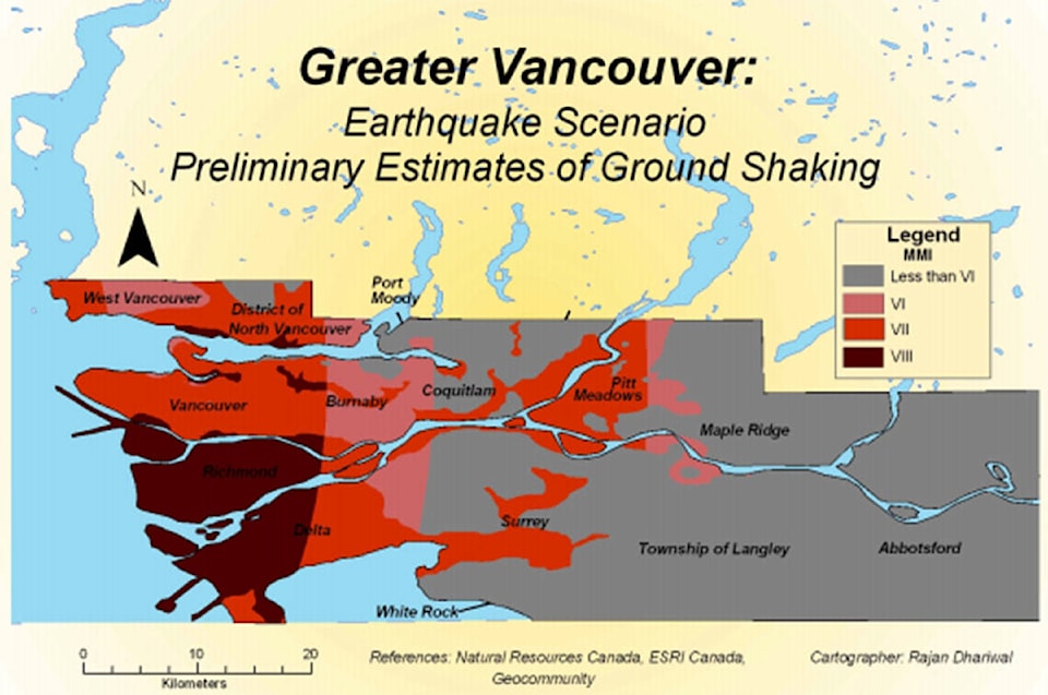
If the ‘Big One’ were to rock the Georgia Strait, the Abbotsford International Airport (YXX) may become a staging area for supplies and equipment flown in during the “life-saving” weeks following the quake, according to Kathryn Forge, executive director of planning and risk reduction for Emergency Planning BC.
A “catastrophic” earthquake scenario would be defined by a, “significant number of injuries, potential deaths, large economic loss, major disruptions to transportation, you’ll likely see displaced populations, people needing emergency food, water, shelter, essentially for longer terms, from weeks up to months,” Forge said. “Within that time, it’s critical to get resources to into impacted local authorities and First Nations.”
| An example of soil liquefaction collapsing a building during the 1985 Mexico City earthquake. Photo sourced from US Geological Survey. |
YXX has been pegged as a potential launching point because the Vancouver International Airport (YVR) would be at risk of significant infrastructure damage from soil liquefaction, according to Forge. She said YVR’s runways and communications may be knocked out due the liquefaction, which occurs when ground shaking loosens soil and damages the structural foundations of buildings.
This type of damage is worsened in locations near or below sea level, like Richmond’s YVR.
“It depends on the location of the earthquake event, where the impact area is, how much damage has been done to the airport” Forge said.
In the Georgia Strait earthquake scenario, YXX is located far enough away from the epicentre to avoid this infrastructure damage, Forge said. It’s also connected to all the highway emergency response routes and is close to U.S. border crossing.
Abbotsford’s YXX conducts live exercises every four years, said Parm Sidhu, general manager of the airport. He said the Department of Defence sends surveyors out every couple years to scout their airfields, create drawings and assess different options for the parking and deployment of aircraft.
“Abbotsford is well suited for moving supply goods and emergency response equipment,” Sidhu said. “But it’s a much bigger conversation than just the airport itself.”
“We’d be a role player in a bigger command post that would be set up regionally.”
The BC Immediate Emergency Response Plan states a province-wide state of emergency will be declared in the event of a major earthquake. A regional operational command centre would then be strategically set up to co-ordinate the federal, provincial and local government agencies involved.
Forge says the current plans are flexible by design and many potential staging areas for the relief effort have been identified, another being the Port of Squamish.
“We have looked at some of those major routes such as [Highway 1],” Forge said. “The intent would be to do surveillance of those key and critical transportation routes and then prioritize debris removal and reconstruction efforts.”
Forge says it’s important to continually remind people that British Columbians live in a highly seismic area.
“They should aim to be able to care for themselves for at least 72 hours and have an emergency plan, emergency kit and know the risks,” she said. “Anytime we talk about seismic it’s really important for us to encourage that messaging.”
RELATED: Joint U.S.-Canada hazardous materials drill to take place by Sumas border crossing