Highway 1 is unpredictable. Sometimes traffic sails along and you can get to Vancouver or Chilliwack within the hour. And sometimes it’s a complete gong show.
We’ve collected a whole bunch of traffic links here. Bookmark this page, or just check back before you hit the road.
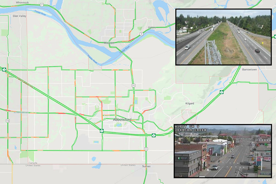
Google Traffic Map
Google uses information from users phones (yes, a little creepy) to measure the speed of traffic and whether it’s moving as quickly as possible.
DriveBC
The province’s Ministry of Transportation runs a pair of Twitter feeds that post the very latest on traffic accidents and road closures. A must-check before you head out on the Coquihalla.
BC-wide alerts: CLICK HERE.
Lower Mainland only: CLICK HERE.
BC Highway Cameras
The province has a network of cameras pointed at Highway 1 and other major routes. In Abbotsford’s core, there are cameras at Sumas Way, McCallum Road, Clearbrook Road, and Mt. Lehman Road. There are also cameras near Bradner Road and Cole Road.
This link will take you to the Clearbrook Road camera. You can then click on the small map below to move to other cameras.
Coquihalla summit camera:
City of Abbotsford Cameras
Did you know the city also operates its own network of cameras. These are rarely useful for traffic reasons, but you never know.
There are cameras on Bradner Road, No.5 Road, near Ledgeview Golf Course, at Fire Hall No. 3 on Fraser Highway, at Eagle Mountain Park, and on Blueridge Drive.
Border cameras
There are cameras everywhere at border crossings; some are even useful to travellers. Click below to see the situation at local border crossings.
Sumas Border - to U.S.: CLICK HERE
Sumas Border - to Canada: CLICK HERE
Aldergrove Border - to U.S.: CLICK HERE
Aldergrove Border - to Canada: CLICK HERE
Map - Crossing wait times to Canada: CLICK HERE